Maiden NI 43-101 / SK1300 resource
About 40 infill and twin holes to verify historical data, alongside a maiden technical report that incorporates all data to date.
A 100%-owned, near-surface oxide gold-silver project with more than 320 historical drill holes and room to grow in every direction.
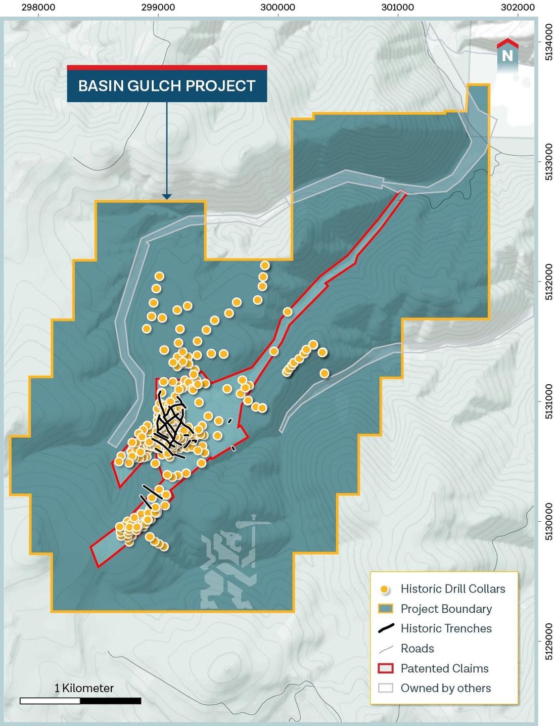
Basin Gulch is a consolidated, near-surface, primarily oxide gold-silver project in western Montana. Most of it sits on patented land.
More than 320 historical drill holes define a high-grade core and support a historical, non-SK1300 / NI 43-101 unconstrained resource of 2.8 million ounces gold equivalent at 0.89 g/t.1 That historical resource is open at depth and along strike, and has not been tested regionally.
Drilling and trench sampling outline a diatreme complex measuring about 800 by 1,000 metres (2,600 by 3,300 ft) at surface. Two-thirds of the property is still relatively unexplored. New drill targets have been established through geochemistry and geophysics.
Historical drill intersections and trench results include long, shallow intervals from surface as well as narrow high-grade zones. Data compiled by Apex Geosciences.
| Interval type | Grade | Length |
|---|---|---|
| Drill hole, from surface | 1.8g/t Au | 162m |
| Drill hole, from surface | 3.2g/t Au | 72m |
| Bulk tonnage | 2.5g/t Au | 91.5m |
| Trench, bulk tonnage | 2.05g/t Au 40g/t Ag | 149m |
| High grade | 7.5g/t Au | 20m |
| High grade | 25g/t Au | 14m |
| High grade | 156g/t Au | 3m |
The long section shows historical drill holes coloured by gold grade. Mineralization remains open to the north, to the south and at depth.
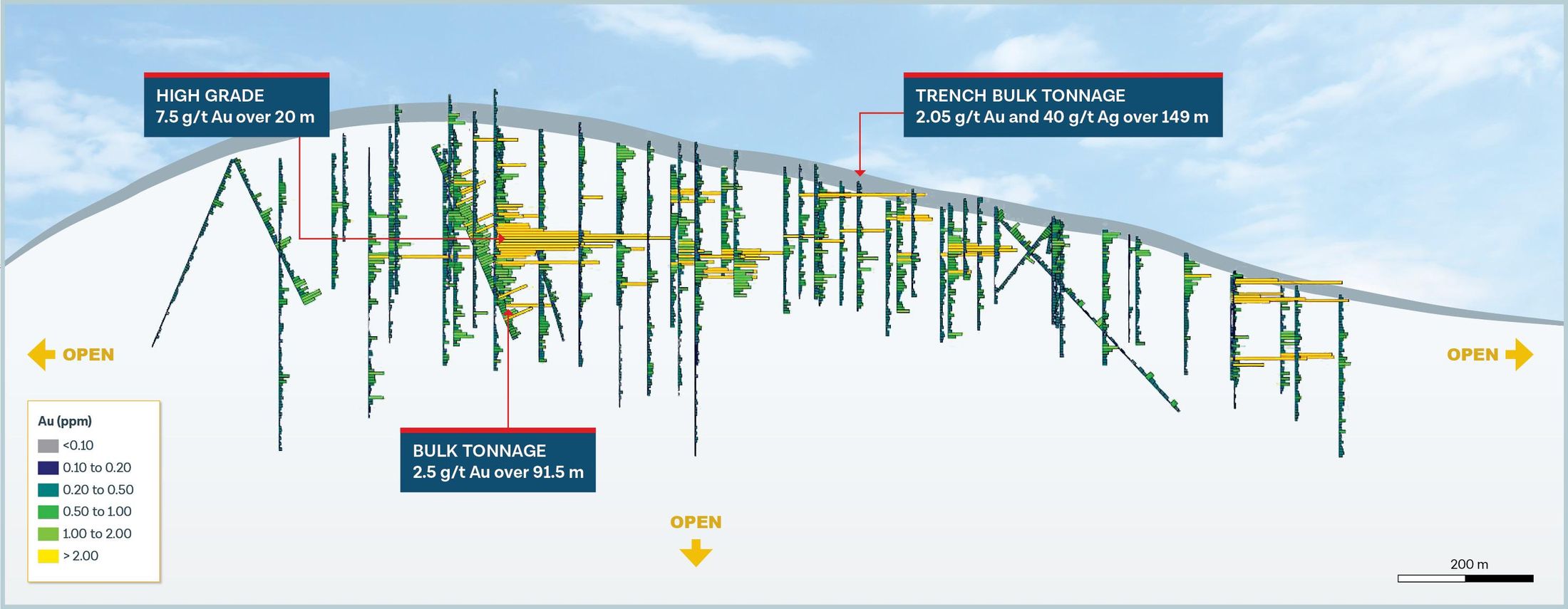
Modelling of the historical drill data points to expansion potential by drilling gaps and stepping out, along strike, across width and to depth.
CSAMT geophysics models the diatreme complex extending below the survey datum. Historical drilling has not reached its base.
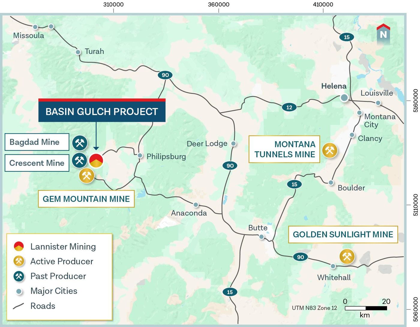
The property hosts a diatreme complex and several breccias cut by thrust faults that are believed to control mineralization. The region hosts multiple diatreme-hosted gold and copper deposits close to Basin Gulch.
Most historical drilling was shallow. A strong CSAMT anomaly below the historical drill area, at roughly 5,800–6,000 ft elevation, has never been drilled. The extents and depth of oxide mineralization are still unknown.
Lannister’s near-term programme is designed to convert the historical estimate into a current, compliant resource and to define how material would be processed.
About 40 infill and twin holes to verify historical data, alongside a maiden technical report that incorporates all data to date.
Expansion drilling in unexplored areas open at depth and along strike, and new target areas with potential for new deposits.
The expected process is gravity recovery followed by shipping a high-grade gold concentrate. Regional mills have capacity and rail or road access.3
Chevron, Cyprus and Cable Mountain all drilled and trenched the deposit. Lannister inherits that body of work and is now drilling toward a maiden resource.
Cable Mountain Mine Inc. discovers the Basin Gulch Au-Ag deposit. 2 drill holes.
Chevron Resources options Basin Gulch. 11 drill holes and 13 trenches.
Chevron Minerals ends all mining projects and sells to Cyprus Exploration. 5 drill holes and 6 trenches.
Cyprus turns its focus to base metals and returns the project to Cable Mountain.
Cable Mountain completes 205 drill holes and 40 trenches.
CSAMT survey shows the mineralized diatreme extending to more than 1,500 ft depth.
Kinross offers US$50 million for the project.
Cable Mountain becomes inactive.
Lannister Mining acquires Basin Gulch from a private vendor.
Geological review and compilation. Technical report completed.
Listing on the NYSE American. Drilling and trenching to support a maiden mineral resource estimate.
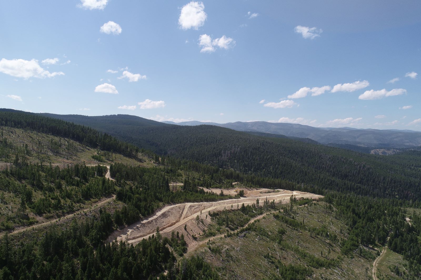
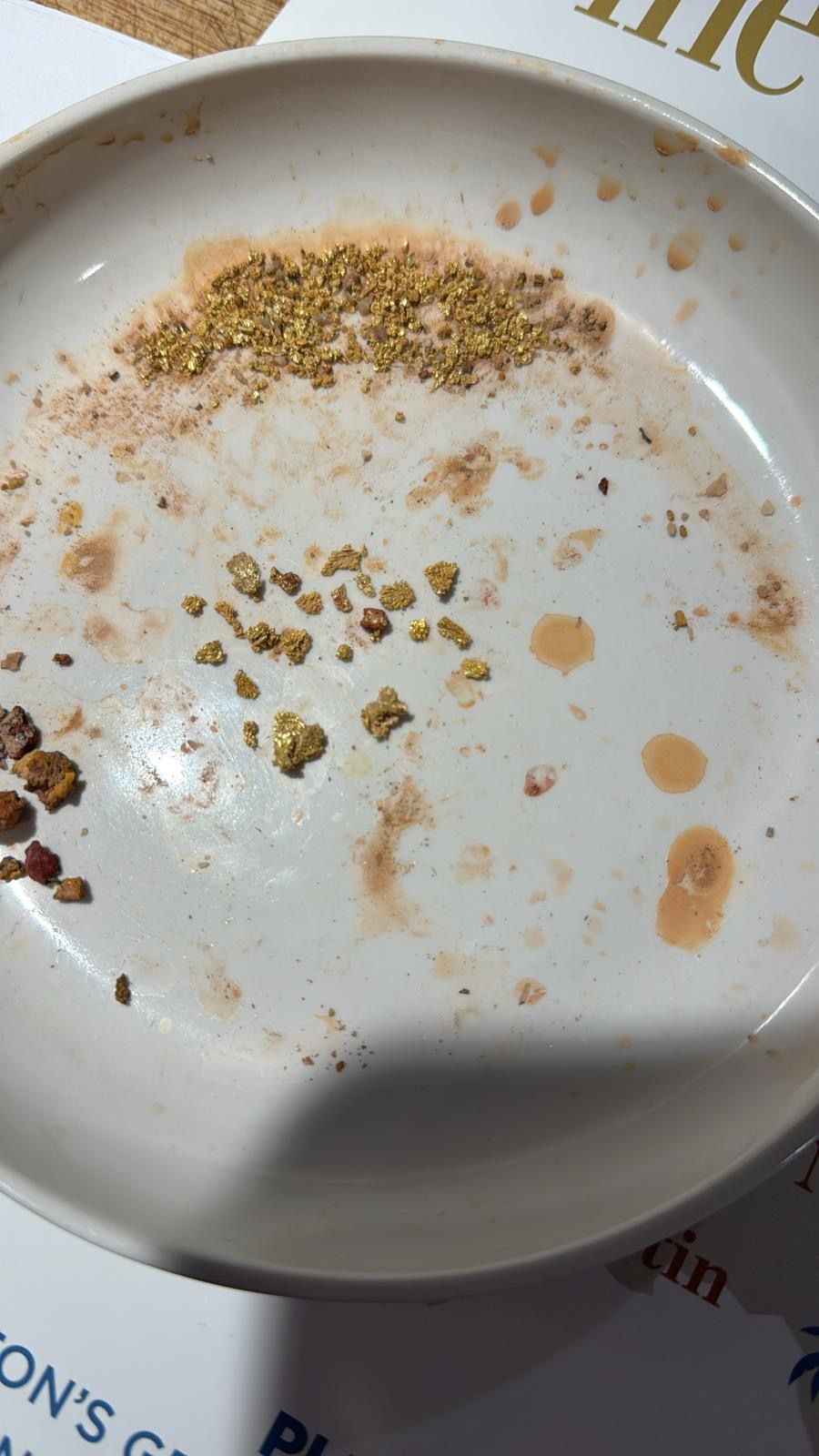
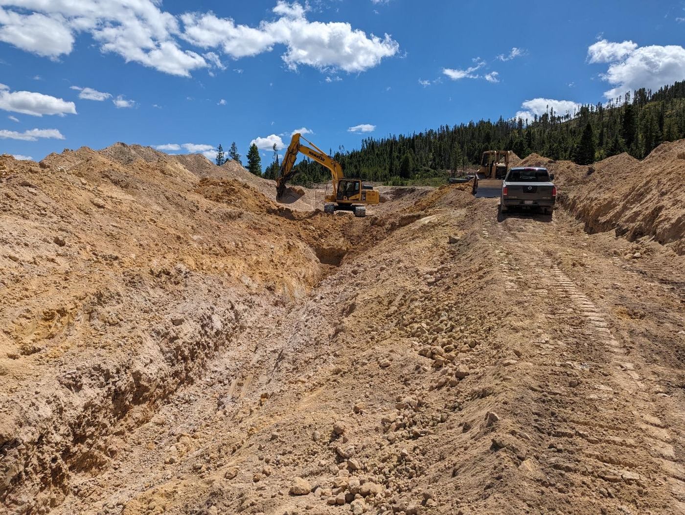
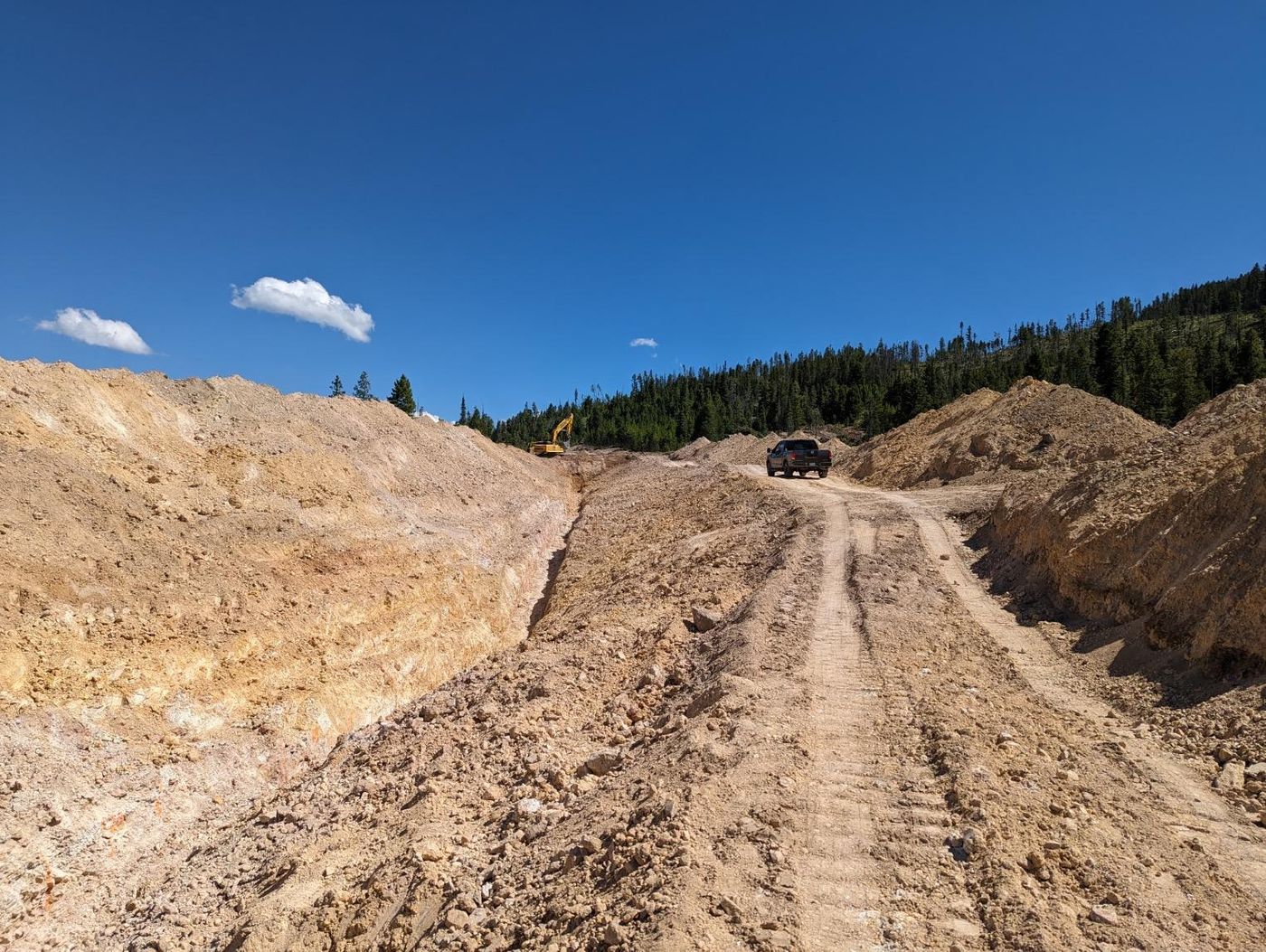
Aerial views, the trenching programme, gold recovered on site and maps of the property.
Receive news releases, corporate updates, investor webinar registrations, and updates on company events.
What to expect: If you wish to withdraw your consent and stop hearing from us, simply click the unsubscribe link at the bottom of every email we send or contact us at IR@lannistermining.com. We value and respect your personal data and privacy. View our privacy policy. By submitting this form, you agree that we may process your information in accordance with these terms.